My property
Search an address, use the swipe tool or download a site report.
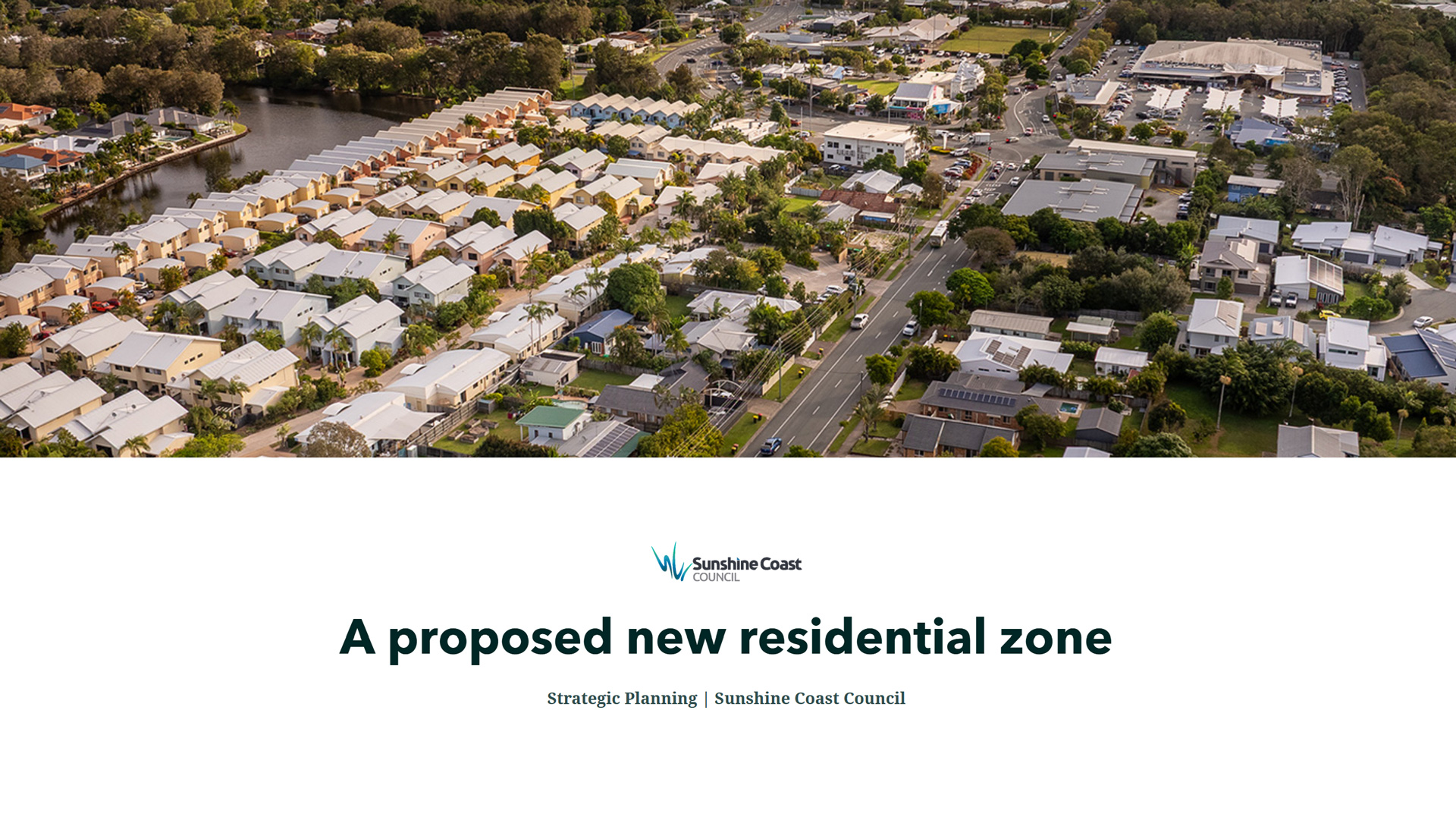
Community feedback has informed preparation of the proposed planning scheme. We heard you. Protecting our natural environment, maintaining our unique character and addressing public transport, traffic and parking, improving development outcomes and housing affordability are all important.
The proposed planning scheme identifies where future growth and development should occur and where some forms of development should be avoided, balancing local and regional planning requirements. It also addresses housing affordability, housing options, what developments can look like, industrial land availability, improving our region’s climate resilience and much more.
Council is committed to planning that manages growth on the Sunshine Coast in a sustainable manner.
Council is committed to planning that manages growth on the Sunshine Coast in a sustainable manner. Council has a deliberate and well-considered strategy to ensure that growth is well planned for in the proposed planning scheme.
The proposed planning scheme’s compact settlement pattern means most of our region’s landscape remains preserved for rural activity and environmental conservation.
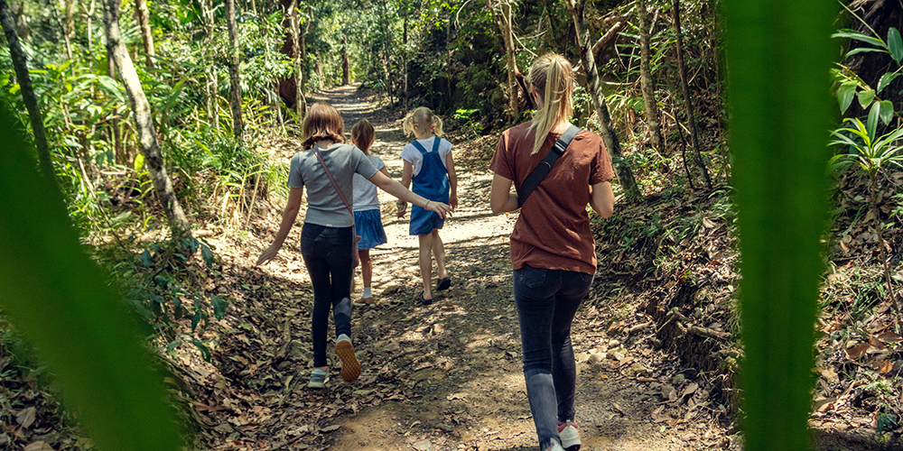
This approach means new housing can be delivered in urban areas where high frequency public transport exists or is planned, and in locations close to centres of activity for jobs and leisure in our coastal and hinterland areas.
Containing development for urban purposes within our planned urban footprint delivers many benefits for the liveability of our region. Responsible settlement patterns and clearly defined growth boundaries:
The proposed planning scheme provides greater opportunities to increase housing supply and diversity in a way that meets the needs of the Sunshine Coast.
Council has carefully drafted the proposed planning scheme, but the State Government also has a say in the future planning of the Sunshine Coast.
The State Government predicts the population on the Sunshine Coast will increase by 219,000 residents between 2021 and 2046 requiring at least 84,800 new homes.
New State-planned communities like Caloundra South (Aura), Palmview and Beerwah East will increase housing supply and diversity, but these areas alone cannot provide for all our forecast growth.
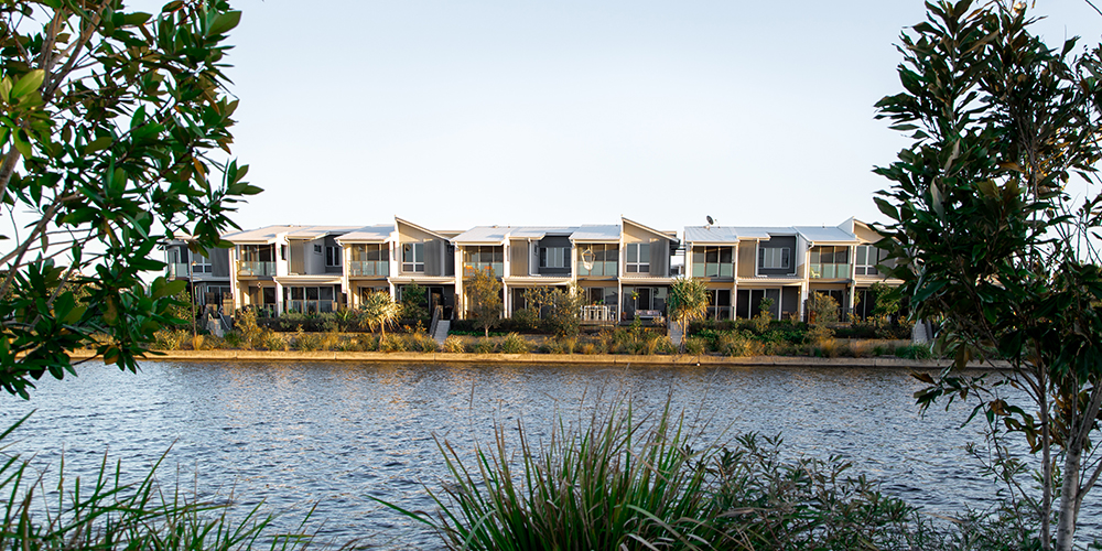
In the coastal corridor from Maroochydore to Caloundra, the proposed planning scheme accommodates additional housing in select and suitable locations, close to transport, jobs, services and major centres. These areas will provide a mix of housing styles to suit the changing needs of our community while aligning with existing and future transport initiatives.
Hinterland towns, especially larger centres like Beerwah and Nambour, provide an opportunity for additional housing to be delivered in keeping with existing residential character.
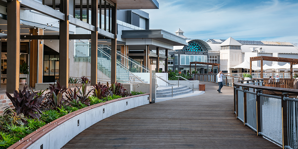
In existing urban areas, new housing opportunities close to employment and other well-frequented services will create a series of specific ‘nodes’, creating a focal point for the surrounding urban community.
Development of this kind will be required to respond sensitively to the surrounding character and amenity and may include business activities at street level to create vibrancy and activity.
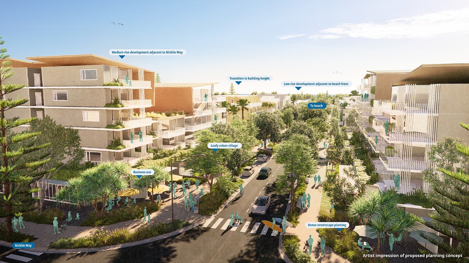
Zones that encourage a range of uses and activities are proposed next to major roads and transit corridors, close to existing activity centres where our communities already gather to work, stay and play. These include:
With an emphasis on high standards of urban and landscape design, mixed use development will deliver leafy, cool, green streets through deep planted landscapes and street level connection between people and the surrounding environment.
Importantly, many communities in these areas will remain in the Low Density Residential Zone , with increased housing concentrated in areas with existing or planned public transport infrastructure.
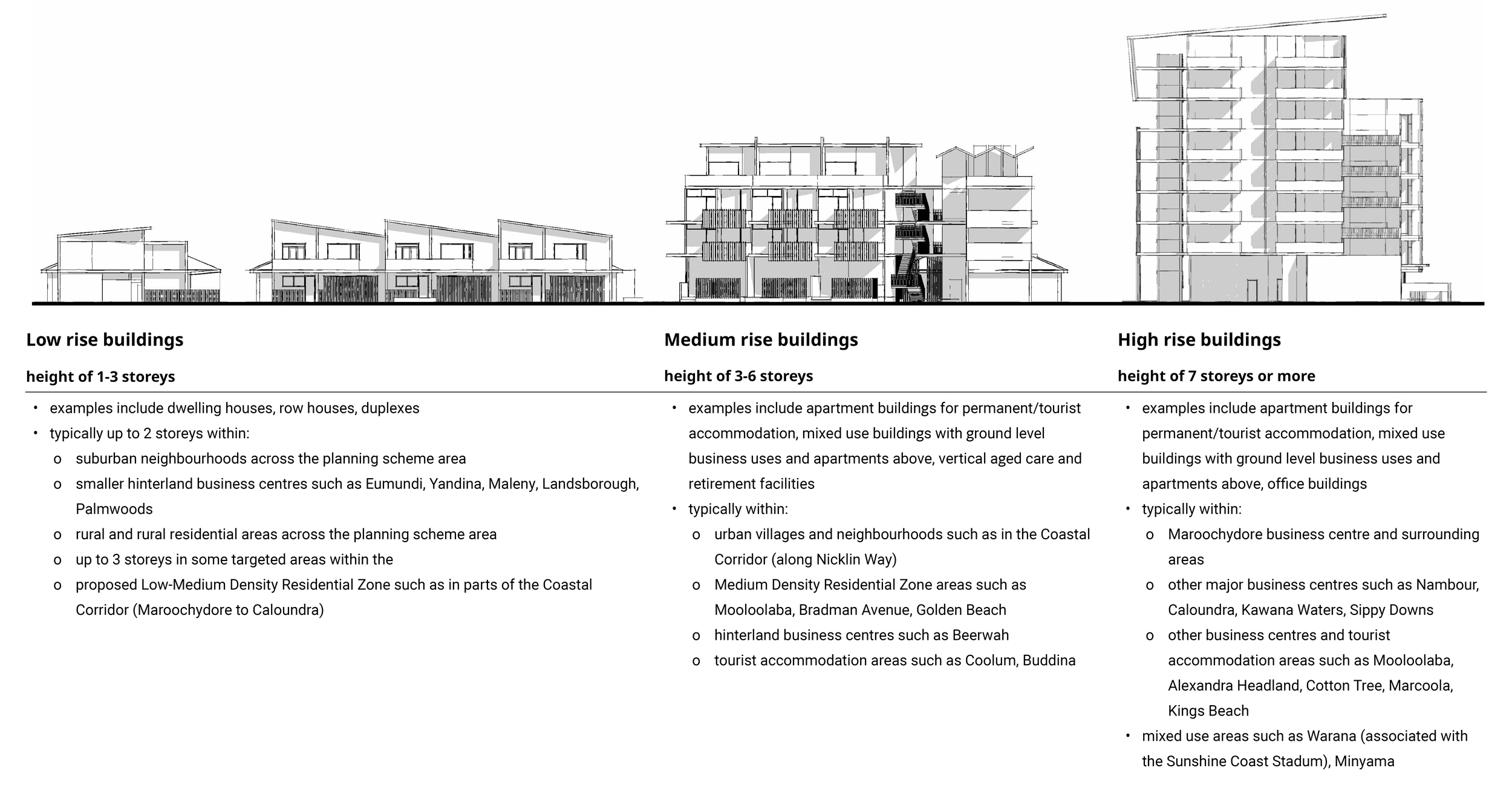
The proposed planning scheme provides for modest and targeted increases for building heights in certain locations, while many other locations are proposed to remain unchanged.
The Height Overlay identifies the maximum height of new buildings and structures on all land covered by the proposed planning scheme. For residential and business activities, building heights will be regulated by the maximum number of storeys, rather than height in metres alone, helping communities better understand building height allowances and encouraging improved design outcomes, for example, increased internal ceiling heights.
Importantly, proposed changes to building heights have been carefully considered and continue to recognise the Sunshine Coast as its own place, different from other metropolitan areas. Careful planning for only incremental building height adjustments helps us keep our community and local environment uniquely ‘Sunshine Coast’.
The proposed planning scheme seeks to improve housing supply by providing for the development of dual occupancy and secondary dwellings in the Low Density Residential Zone and development of small residential lots in the Low Medium Density Residential Zone.
All these types of homes are required to be consistent with the intended character of the zone they are located in.
Allowing for innovative and new housing styles like tiny homes, duplexes and smaller residential lots provides more homes for our community in established and well-serviced areas, while preserving the amenity and lifestyle of existing housing.
Click the image below to explore a visual representation of the Low-Medium Density Residential Zone.
The Sunshine Coast region is not alone in the challenge to address declining housing affordability. Pressures on available housing, decreasing rental vacancies, changing household demographics and increasing housing costs are challenges across South East Queensland and beyond.
Affordability is a complex issue, and the proposed planning scheme is only one of many possible initiatives from many levels of government, which can work towards improving affordability.
The proposed planning scheme includes initiatives such as:
The proposed planning scheme doesn’t exist in isolation and requires supporting infrastructure to deliver the best land use planning outcomes.
The Local Government Infrastructure Plan (LGIP) contains Council’s long-term plans for ‘trunk infrastructure’ to meet the needs of our growing community. Trunk infrastructure includes:
The LGIP forms part of Council’s planning scheme and identifies trunk infrastructure that is necessary to service urban development at the desired standards of service in a coordinated, efficient, and financially sustainable manner.
An updated Local Government Infrastructure Plan (LGIP) is being prepared in association with the proposed planning scheme, and has an emphasis on planning for appropriate levels of infrastructure capacity into the future to service predicted urban development, as provided for under the proposed planning scheme.
Major infrastructure that supports housing growth like public transport and highway upgrades tends to be responsibility of the State and Federal Governments. More local infrastructure priorities are identified by the LGIP.
Further information about the LGIP is available in the Local Government Infrastructure Plan Information Sheet
As the Sunshine Coast continues to thrive, we need transport that connects and delivers our communities to work, leisure and loved ones.
The proposed planning scheme recognises existing and planned high frequency public transport hubs and provides for housing growth in these areas.
State Government planning is underway for a new coastal transit system, and a rail link.
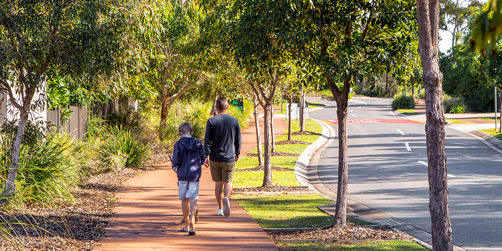
Active transport solutions for walking and riding provide an important role in our integrated transport network and help us to improve our wellbeing, minimise cars on the road and reduce our impact on climate change.
The proposed planning scheme has been prepared with a view to supporting and enhancing active transport opportunities and includes:
Well managed car parking helps the community, visitors and business on the Sunshine Coast to access and deliver services in our region. Parking needs vary depending on location, but generally the proposed planning scheme addresses community concerns around car parking impacts by:
With careful planning, we can protect and enhance the things we value about our region and appropriately respond to ongoing and emerging challenges.
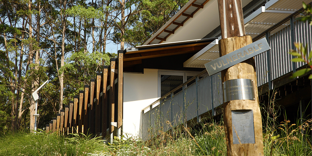
Climate change is likely to be the biggest challenge for our future. It will affect our liveability, health, natural environment and economy.
It is critical that development is responsive to the challenges posed by climate change. The proposed planning scheme aims to reduce greenhouse gas emissions and improve climate resilience. To help achieve this, the proposed planning scheme prioritises:
Read more about planning for natural hazards in the Information sheets section
Identifying and protecting our growth management boundaries, both strategically and locally, delivers many benefits to our community. Containing urban sprawl by minimising development into our ‘green frame’ is essential to protecting habitats and viability of our local native animal populations.
The proposed planning scheme includes new mapping and provisions promoting protection for our sea turtles, developed through consultation with experts in this field. By reducing impacts of lighting near turtle nesting habitats we can improve outcomes for the loggerhead and green turtle, two key species nesting on our beaches.
Koalas are a beloved icon of our local wildlife, and will be protected through improved alignment between the proposed planning scheme provisions and existing state-level habitat protections identified in the South East Queensland Regional Plan.
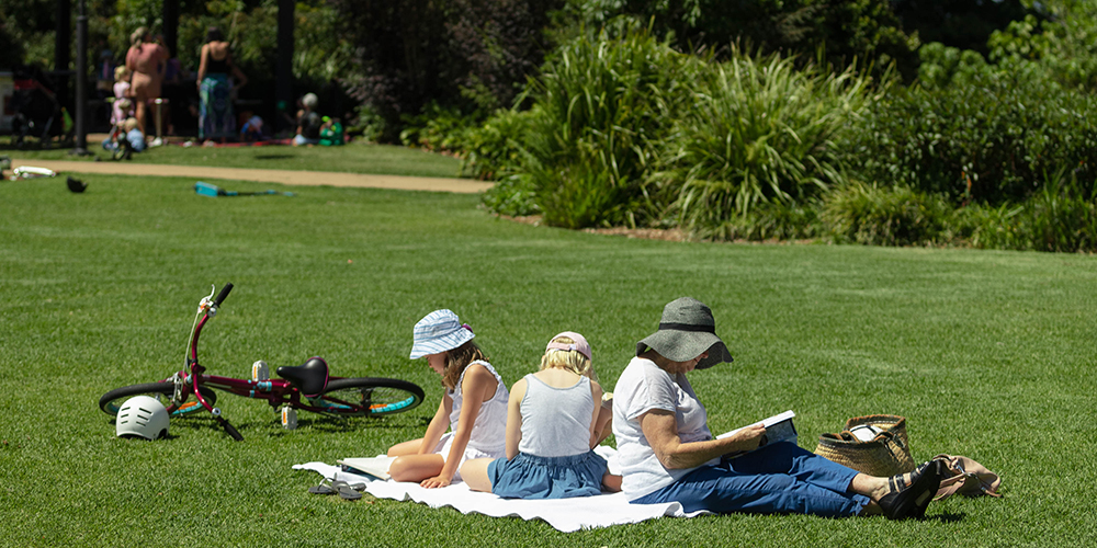
The Sunshine Coast enjoys a diversity of natural landscapes that play a pivotal role in our community’s wellbeing, providing easy-to-access places to recharge and explore. This ‘green frame’ is also essential to our region’s healthy environment and a cornerstone of our tourism offering.
The proposed planning scheme identifies our green frame and prioritises a sustainable settlement pattern, protecting areas like:
This ensures the important environmental and regional landscape role these areas play is preserved and remains accessible for many generations to come.
A robust green frame requires responsible ecosystem management throughout our whole region. The proposed planning scheme provides further protection for our waterways, wetlands and natural vegetation with greater recognition of their critical role in supporting our day-to-day life, our resilience to climate and heat and our access to clean air, water and food sources.
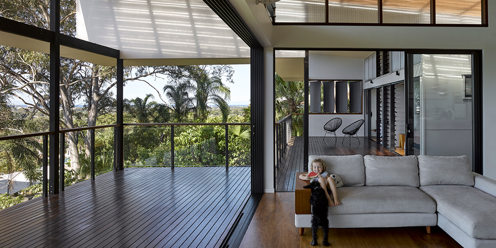
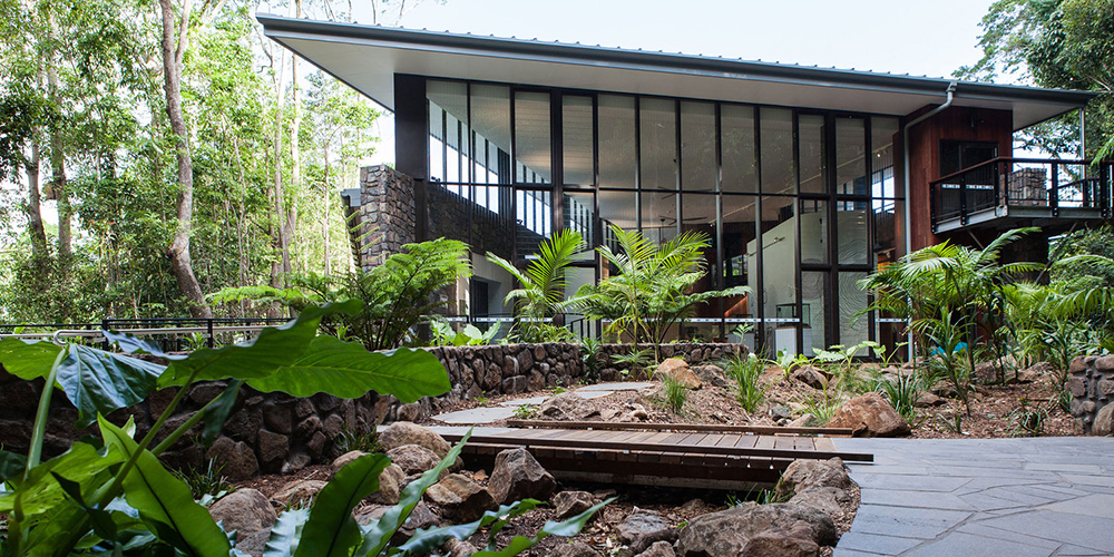
Good building and landscape design captures what our community loves about life on the Sunshine Coast, and quality design choices for our built and landscaped environment can significantly enhance the liveability of our region.
A local approach to buildings, streets and spaces reflects the values, characteristics of our lifestyle, rather than design that could be ‘anywhere’.
Good design is integral to planning for our future.
Sunshine Coast Design was developed following open and collaborative engagement with our community based on their values and aspirations.
Image 1 of 10
The proposed planning scheme recognises Sunshine Coast Design principles in its foundation, also known as its Strategic Framework. These principles have also informed the proposed assessment rules for assessing development against zone requirements, use codes, and local plans.
All proposed planning scheme codes, but especially those related to multi-unit residential development, have been designed to assess new developments fairly, transparently and rigorously.
Some of the practical ways the proposed planning scheme encourages development to align with Sunshine Coast Design principles include:
As more people are drawn to our region for its liveability, opportunity and natural surrounds, Council is working to preserve the lifestyle and sense of place we value today for future generations to enjoy.
The Sunshine Coast is emerging as a globally competitive economic hub, and the proposed planning scheme works towards strengthening our economy now and in the future.
Well established as a destination for business and industry investment, our region requires a robust planning scheme to support future growth and jobs for our skilled and educated workforce.
The proposed planning scheme provides room for industry to grow. The Sunshine Coast has a limited supply of industrial land so the proposed planning scheme includes measures to ensure existing and new industrial land is preserved for industrial activities.
To replenish a diminishing supply of industrial land, the proposed planning scheme also provides additional land within the new Industry Zone at Beerwah, Corbould Park and Yandina. Overall, the proposed planning scheme aims to increase the supply of zoned industrial land supply across the Sunshine Coast region by approximately 18% to help support our continued economic growth.
The South East Queensland Regional Plan identifies additional industrial land in Yandina on the southern side of Yandina-Coolum Road. The proposed planning scheme has included this land in an Industry Zone and sets guidance on appropriate development in the interim.
The proposed planning scheme provides for well-defined urban villages that offer a range of housing options with the introduction of a new Mixed-Use Zone. Where appropriate, this zone will bring homes and business together to encourage vibrant daytime and night-time economies close to transport and major centres.
Both the Mixed Use Zone and the Innovation Zone will provide opportunities for creative and emerging businesses that suit our region and its communities.
Through changes to industry thresholds and tables of assessment, the proposed planning scheme will also better accommodate innovative activities in tourism, hospitality and craft industries.
Rural and agricultural productivity plays an important role in the Sunshine Coast’s diverse economy. The proposed planning scheme continues to support these activities with new protections for agricultural land through the Agricultural Land Overlay. This productivity will be supported by the continued allowance of compatible activities like agritourism and agribusiness in our rural areas.
For further details, please refer to th Rural Land and Activities Information Sheet.
Your feedback is important. Whether you support the plan or have some concerns, we want to hear from you.


